How PrairiesCan Investment Is Propelling Saskatchewan Polytechnic’s Autonomous Drone Revolution
The Canadian Prairies have long served as a testing ground for innovation in agriculture, energy, and logistics. That role is now extending into aerospace systems. A significant funding boost from PrairiesCan—the federal economic development agency for Western Canada—is accelerating an advanced autonomous drone initiative at Saskatchewan Polytechnic. The project is positioned to reshape how industries monitor and manage vast, remote infrastructure networks.
This is not a routine upgrade in drone usage. It represents a shift toward fully autonomous aerial systems capable of sensing, analyzing, and acting with minimal human intervention—an especially valuable capability in environments defined by distance, weather extremes, and limited infrastructure.
The Strategic Importance of Autonomous UAS Technology
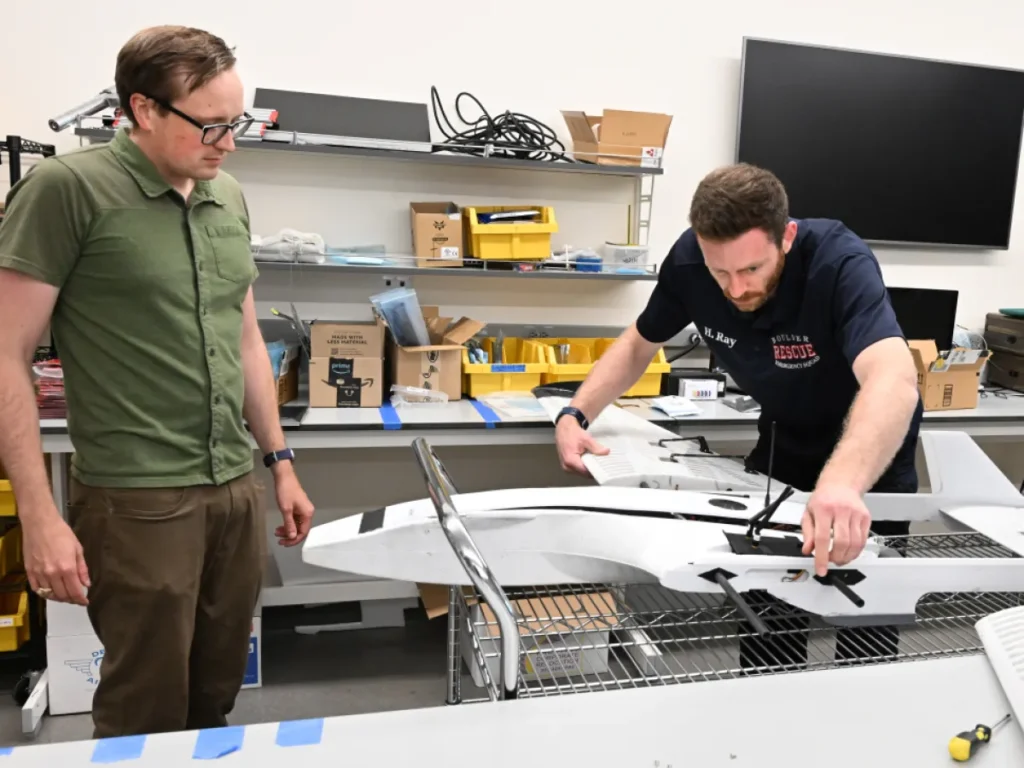
While commercial drones are already widely used for imaging and inspection, the systems under development at Saskatchewan Polytechnic move into a more advanced category: autonomous unmanned aerial systems (UAS). These platforms integrate onboard intelligence, machine vision, and adaptive navigation to execute complex missions without continuous operator control.
For the Prairie economy, the relevance is direct across key sectors:
- Agriculture: Real-time monitoring of crop health, soil conditions, and pest activity, enabling faster and more precise agronomic decisions.
- Energy and Infrastructure: Automated inspection of pipelines, transmission lines, and remote facilities with reduced human risk and operational cost.
- Emergency Response: Rapid deployment in severe weather or inaccessible terrain for search, mapping, and situational awareness.
PrairiesCan’s investment is designed to shorten the path from research to field deployment, ensuring these capabilities can be applied at scale.
Inside the Technology Being Developed
The Saskatchewan Polytechnic program focuses on building next-generation autonomy systems rather than relying solely on commercial drone platforms. The emphasis is on software and sensor integration that allows drones to operate in complex, unpredictable environments.
Core Technical Capabilities
- Multi-sensor fusion: Integration of LiDAR, optical, thermal, and radar data into a unified real-time environment model
- Edge computing: Onboard AI processing to enable independent decision-making without constant cloud connectivity
- Autonomous safety systems: Redundant controls and automated recovery procedures for system failures
- Environmental resilience: Aircraft designed to operate in extreme Prairie conditions, including high winds and severe cold
A key technical challenge is ensuring reliable navigation in GPS-degraded or obstructed environments, such as industrial sites or remote northern regions.
Education, Workforce Development, and Regional Impact
Beyond technology development, the initiative is structured as an applied training ecosystem. Students are directly involved in research, prototyping, and field testing, creating a practical pipeline of skilled graduates.
Building a Specialized Workforce
Graduates from the program gain experience in:
- Autonomous flight programming and testing
- Sensor calibration and environmental data analysis
- Regulatory compliance for unmanned systems
- Field deployment and mission design
This hands-on approach aligns with growing demand from industries adopting automation in agriculture, mining, and utilities.
Economic Spillover Effects
The project also supports regional economic development through:
- Procurement from local suppliers in electronics and materials
- Collaboration with small and medium-sized technology firms
- Potential commercialization of research outputs and spin-off companies
Regulatory and Safety Framework
Autonomous drone operations at scale require close alignment with Transport Canada regulations, particularly for beyond-visual-line-of-sight (BVLOS) missions. The project incorporates compliance and safety design from the outset.
Key safeguards include:
- Geofencing to prevent restricted airspace violations
- Redundant communication systems for mission continuity
- Comprehensive flight data logging for audit and review
- Fail-safe landing protocols in case of system disruption
This regulatory-first approach is essential for scaling autonomous operations in commercial environments.
Looking Ahead: Commercial and Industrial Applications
The PrairiesCan-supported initiative is part of a broader effort to position Western Canada as a hub for unmanned systems innovation. As the technology matures, expected developments include:
- Large-scale agricultural deployment of autonomous monitoring fleets
- Industrial inspection services for energy and mining sectors
- Expanded academic programming in drone systems and AI navigation
The long-term significance lies in industrial adoption. Autonomous aerial systems are expected to become standard tools for infrastructure management across remote and high-risk environments.
Conclusion
The investment in Saskatchewan Polytechnic reflects a broader shift toward automation-driven infrastructure monitoring in Canada’s Prairie region. By combining applied research, workforce training, and industrial collaboration, the project positions autonomous drone technology as a practical tool rather than a theoretical innovation.
Its success will depend not only on technical advancement, but on how effectively it integrates into real-world industries that rely on speed, precision, and access to hard-to-reach environments.